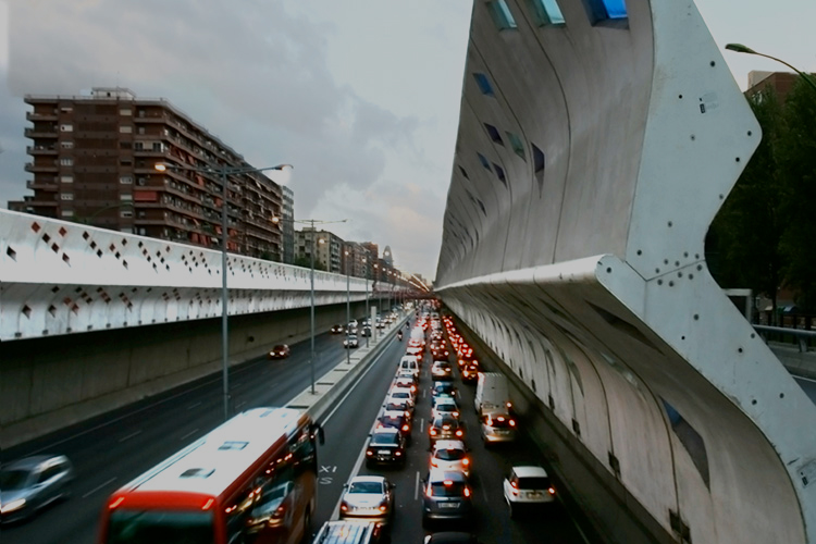
Barcelona photo of : Maciek Lulko/ CC BY-NC-SA 2.0
Barcelona photo of : Maciek Lulko/ CC BY-NC-SA 2.0
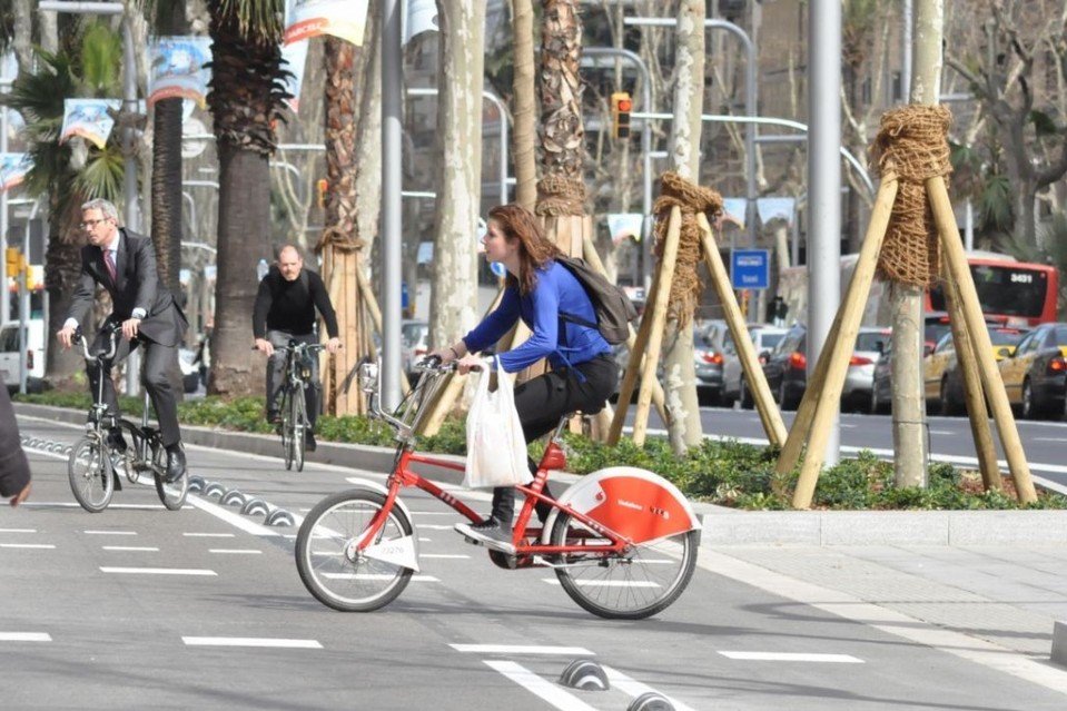
MobilitApp records synchronously and while running in the background, periodic location updates from its users. The information obtained is processed to analyze the mode of transportation used by the user. At the moment we are able to recognise these transport modes: bicycle, bus, car, e-scooter, metro, motorbike, run, stationary, train, tram and walk.
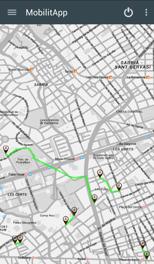
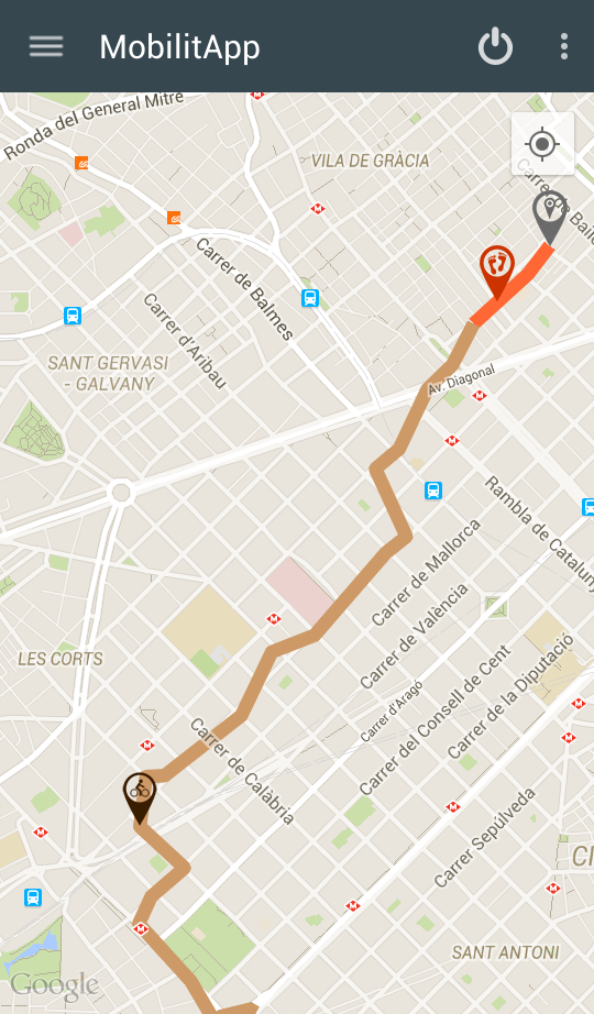
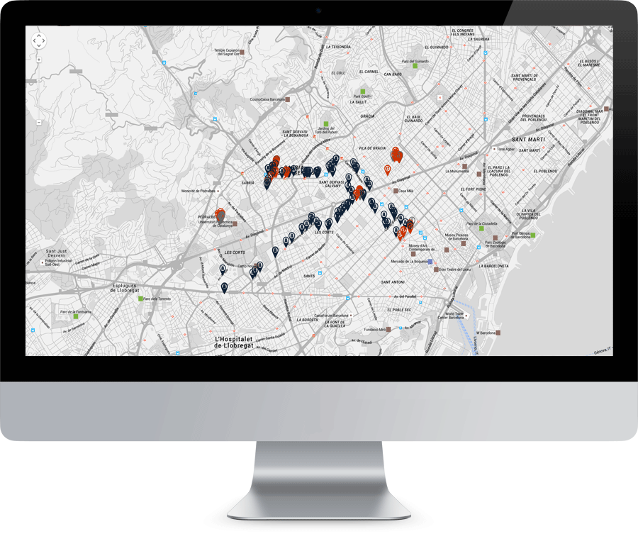
Users can visualize on a map their locations' history day by day. The user's information is treated completely anonymously.
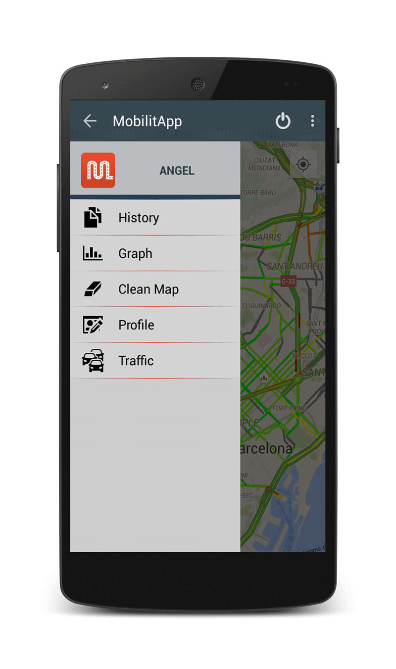

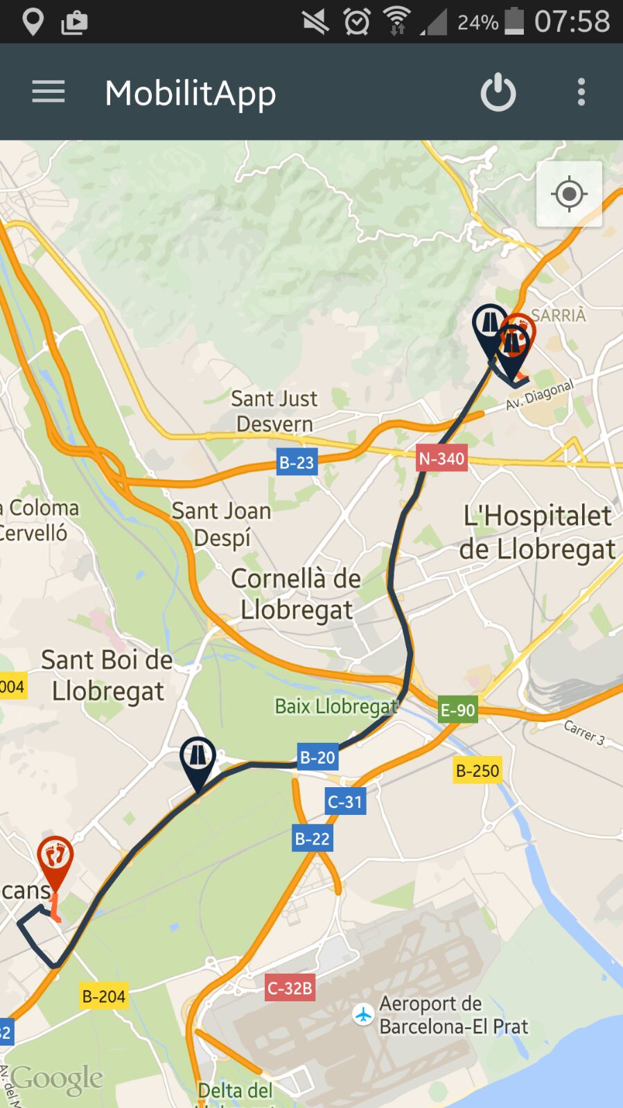
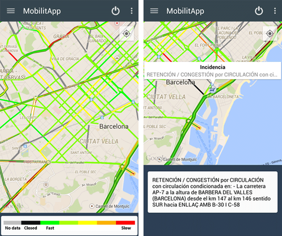
MobilitApp integrates real-time traffic state information provided by the Barcelona City Hall and the traffic incidence information provided by the Spanish Traffic Authority: Direcci�n General de Tr�fico.
We provide tools to filter and analize citizens mobility patterns.
In collaboration with the Metropolitan Transport Authority of Barcelona.

To detect the transportation mean of the citizen, Machine Learning algorithms are used. MobilitApp gathers users' data from some of the basic smartphone's sensors: accelerometer, gyroscope, magnetometer, noise level, etc.
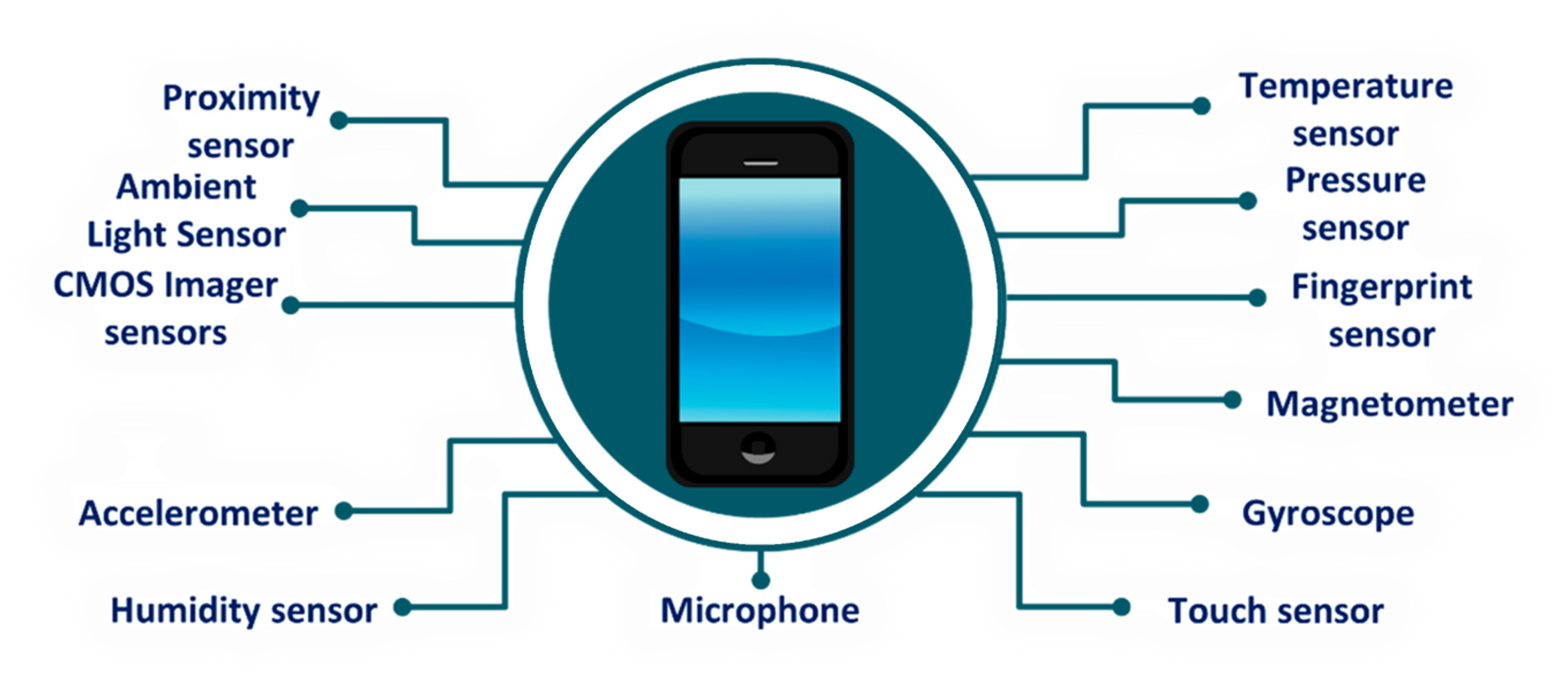
GPS is a nice but consuming feature. Our goal is to save memory, battery power, and CPU performances as much as possible. The solution to develop MobilitApp is therefore not in GPS, but in the smartphones' sensors.

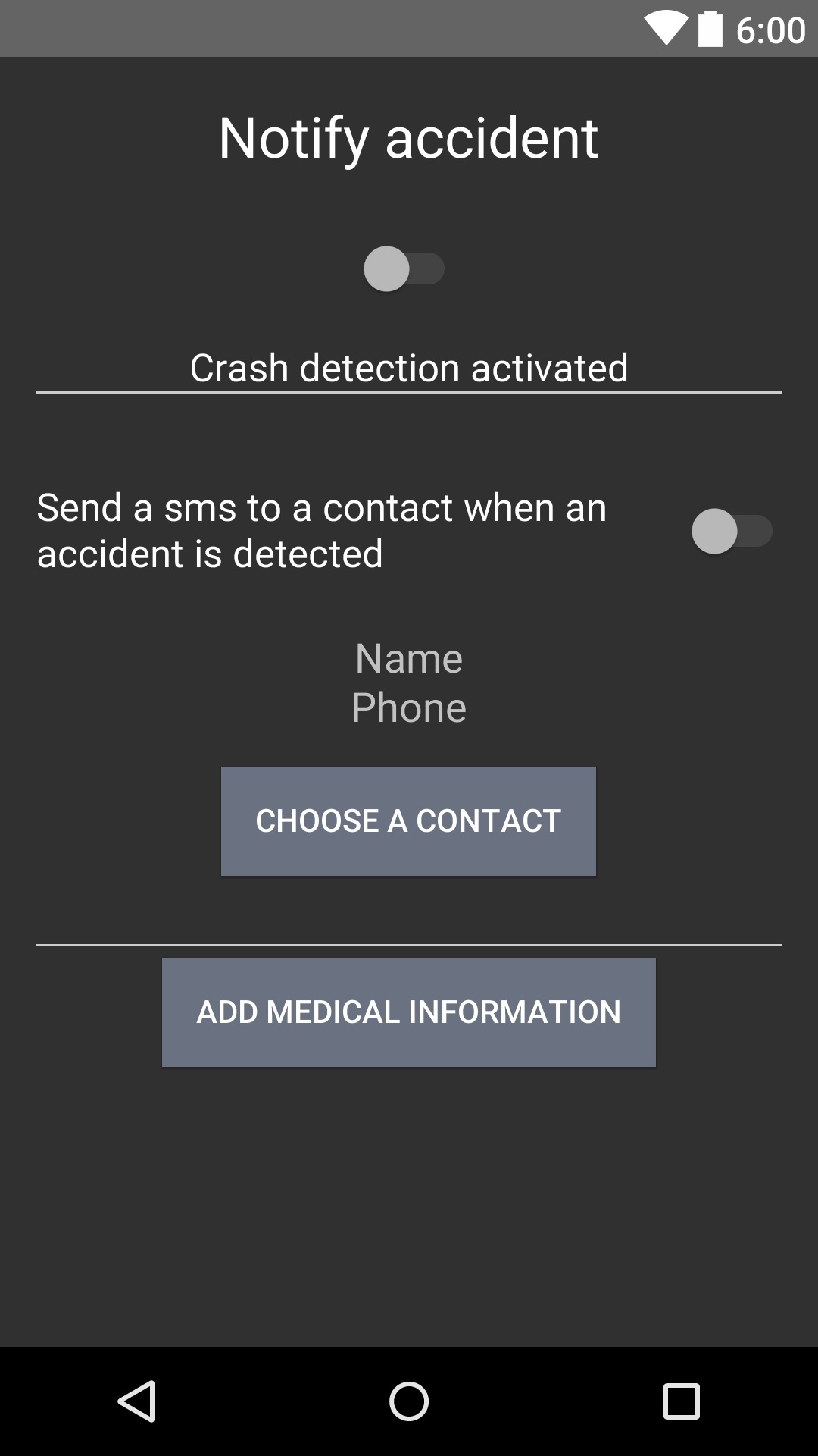
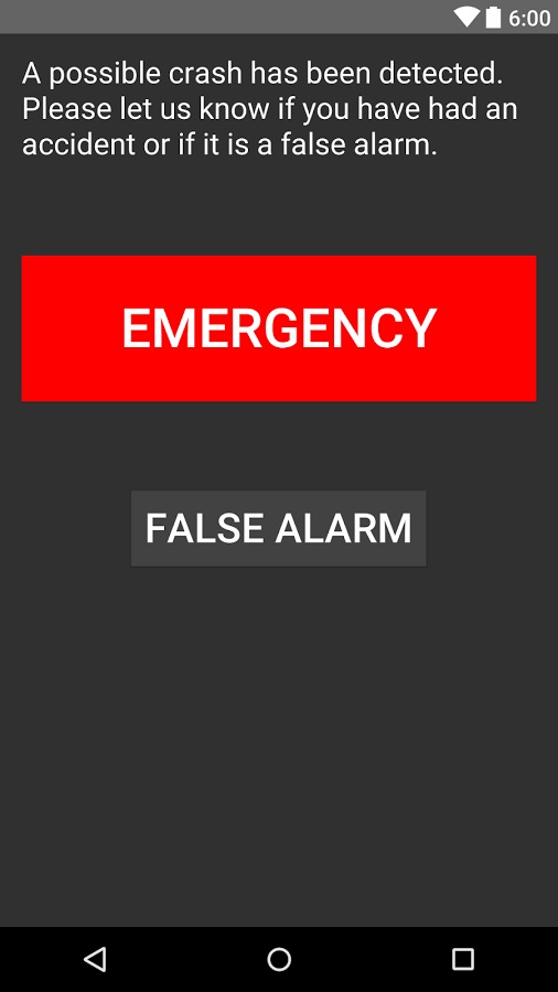
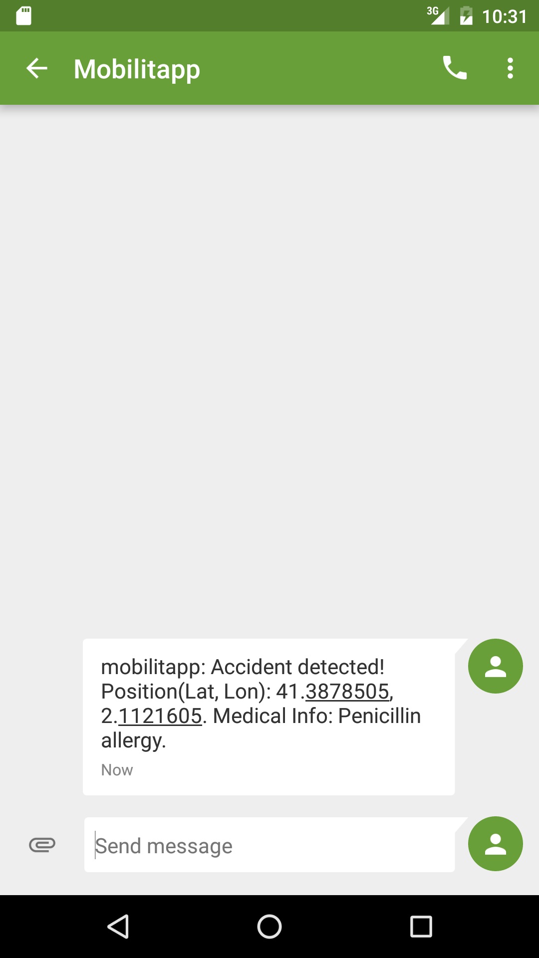
Mobilitapp can detect an accident and send an emergency SMS (including your GPS position and medical information) to a contact (e.g. 112)
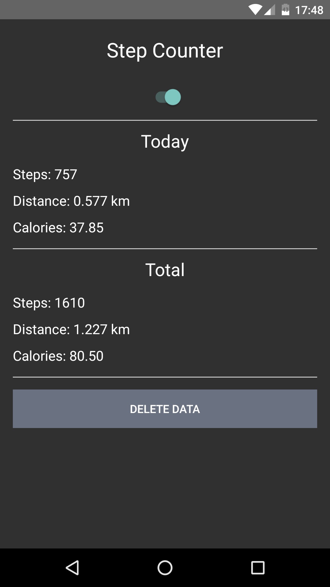
Mobilitapp can count the number of steps you do and calculate the distance traveled and calories burned.
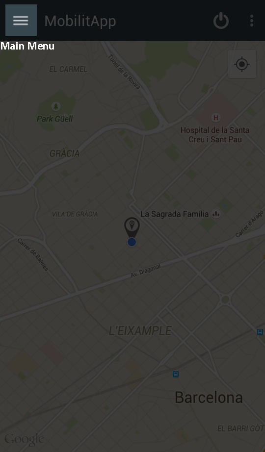
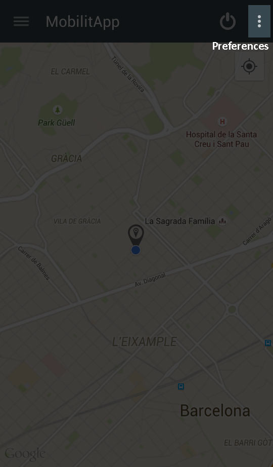
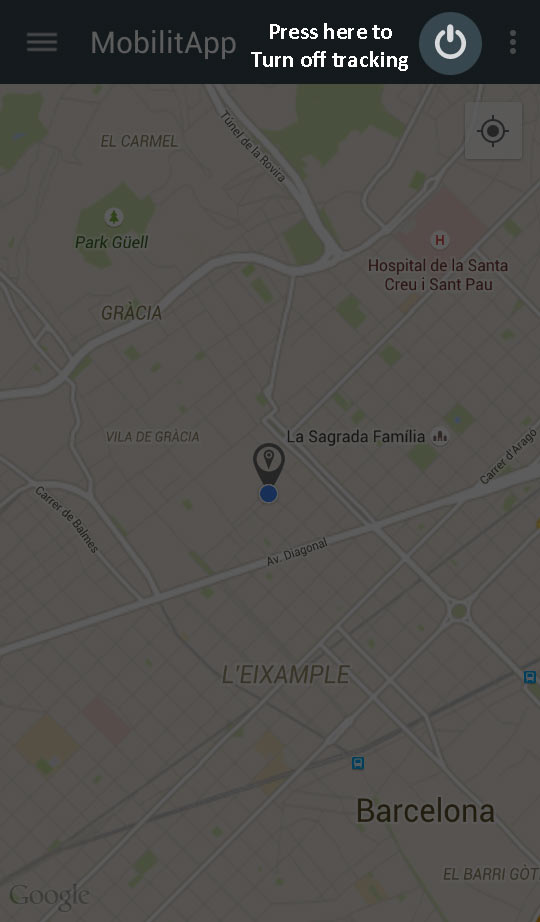
Some hints to use the MobilitApp.